|
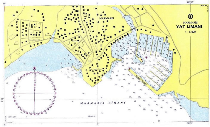
GEOGRAPHIC LOCATION
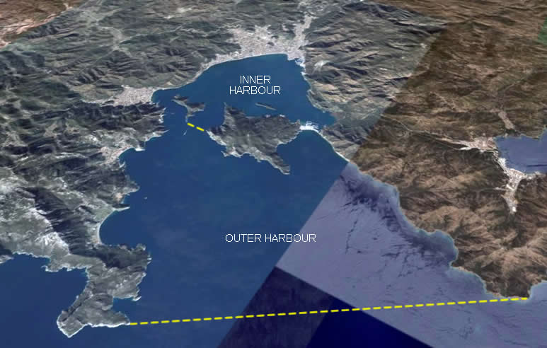
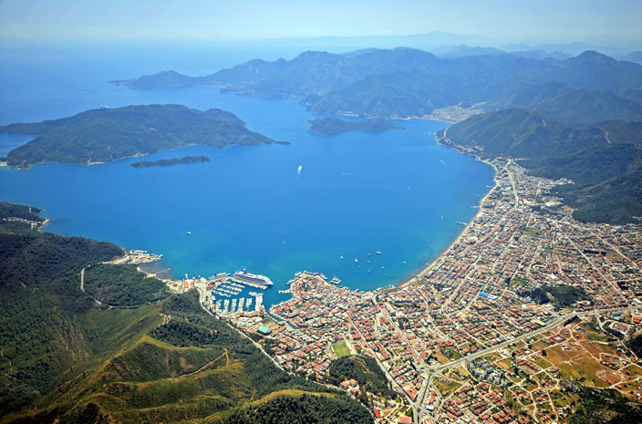
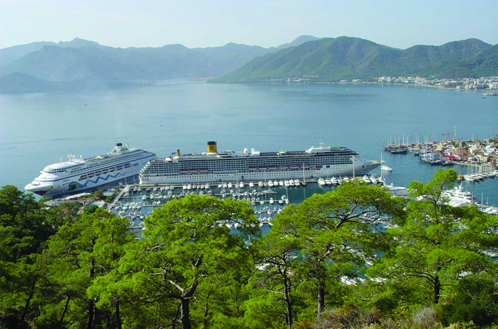
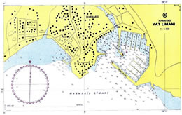
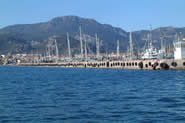
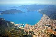
Marmaris inner harbour is protected by two islands, Yıldız Adası
(Island) and Ke�i Adası (Island).
Yıldız Adası (Island) is a peninsula connected to the east shore by an isthmus of shingle
about 75 m wide. A pine-clad hill rises in the middle of the peninsula to an
elevation of 402 m and is crowned by the ruins of an ancient fortress. Ke�i
Adası (Island), also topped with ancient stones, lays to the west.
GENERAL HARBOUR INFORMATION
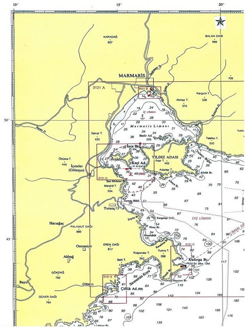
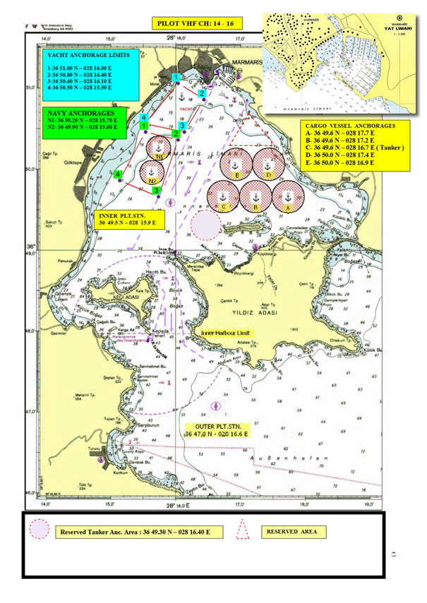
 Harbour Limits Harbour Limits
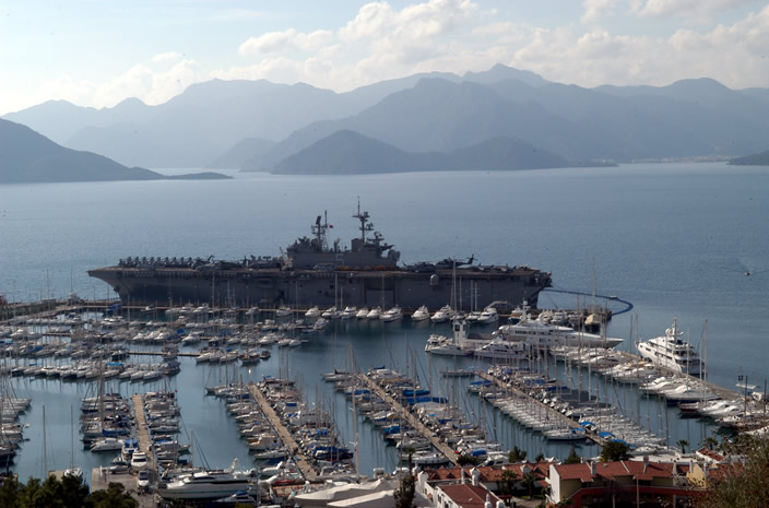
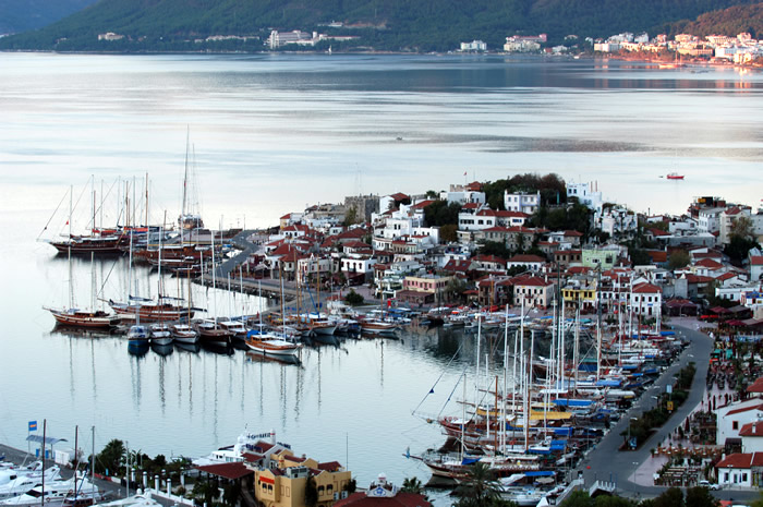
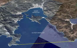
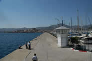
Marmaris harbour is divided into an inner and outer harbour.
The inner harbour is the sea area N of an E/W line drawn through Ke�iada Lighthouse (
36 47.9 N � 28 15.6 E ; Light characteristic Fl R 2s 5M ).
The outer harbour is the sea area lying between a line drawn from Kadırga Burnu
(Tip) ( 36 43 54 N � 028 18 51E ; Light characteristic Fl (3) 15s 39m 12M ) to Turnalı
Burnu (Tip) ( 36 47 18N � 028 24 24E ) 6 miles NE, and the inner harbour limit.
Route
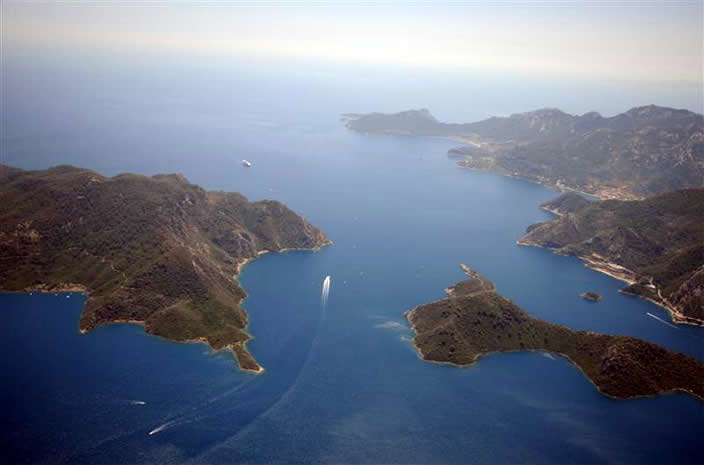
From ESE of Kadırga Burnu (Tip) ( 36 44N-028 18E ) the route leads NW for about 7
miles through the outer harbour to the inner harbour entrance. The inner harbour
is entered between Sarımehmet Burnu (Tip) ( 36 48N � 028 15E ) and Alkaya Burnu
(Tip), 1.5
miles E, the S extremity of Yıldız Adası (Island)
the entrance is divided into two
channels ( B�y�k Bogaz (Strait) / E channel and K���k bogaz
(Strait) / W channel) by Ke�i Adası (Island).
The route then leads N for a distance of 3.5 miles through B�y�k Bogaz
(Strait) the E of
preferred channel which lies between Yıldız Adası
(Island) and Ke�i Adası (Island) and then across
the inner harbour to Marmaris.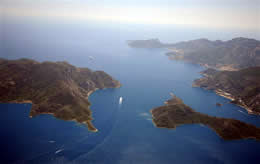
Vessels prefer the E channel, deep and clear in the fairway free of danger /
obstruction. Vessels must navigate with caution in the fairway & bay for sailing
boats, yachts and fishing boats.
Directions
Seaward to inner entrance : From a position about 4 miles ESE of Kadırga
Burnu (Tip) ( 36 44 N � 028 18 E ) the track leads initially NW, passing ( with
position from Ke�iada Light ( 36 47.9 N � 028 15.6 E )
*** NE of Kadırga Burnu (Tip) ( 4.5 miles SSE ), from which a Light ( white metal
column on dwelling, 12 m in height ) is exhibited.
*** NE of Kara�r�n Burnu (Tip) (3.2 miles SSE ), which has some above-water rocks
close E of it.
*** NE of Kargataşı Adası (Island) ( 2 miles SSE ), an islet steep except on its S side ;
the mainland 2.5 cables W of the islet terminates in a high rocky point, with
soal water extending 2 cables offshore on its NW side.
*** NE of Turun� Koyu ( 1.5 miles S )
The track then leads to a position E of Sarımehmet Burnu ( 4 cables SSW ).
Between Turun� Koyu and Sarımehmet Burnu (Tip) there are several small indentations
separated by rocky points. The land behind Sarımehmet Burnu
(Tip) is high and
picturesque.
Inner entrance to Marmaris : From the position E of Sarımehmet Burnu
(Tip) The
track then leads generally N, passing ( with positions from Ke�iada Lighthouse ( 36
47.9 N � 028 15.6 E )
*** E of Ke�iada Lighthouse ( white metal column on dwelling, 12 m in height ), which
is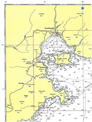 exhibited from the S extremity of Ada Burnu
(Tip), an islet lying close off the S
end of Ke�i Adası (Island) exhibited from the S extremity of Ada Burnu
(Tip), an islet lying close off the S
end of Ke�i Adası (Island)
*** Through B�y�k Bogaz ( E channel , 5 cables NE ), which separates Ke�i Adası
(Island) from Yıldız Adası ; the shores of the channel are high and precipitous.
*** W of Ince Burnu (Tip) ( 1 mile NNE ), the NW point of Yıldız Adası
(Island), from which a
Light ( white tower ) is exhibited.
*** W of Bedir Adası (Island) ( 1.5 miles NE )
The track then continues NNE across the inner harbour of Marmaris Limanı
(Harbour) to
Marmaris.
Prohibited Area
Anchoring and fishing are prohibited within an area, the limits of which are on
the chart, centred on Ke�iada Lighthouse ( 36 47.9 N � 028 15.6 E )
Submarine Cables
Several submarine cables are laid across the outer harbour of Marmaris Harbour,
landing in Turun� Koyu ( 36 46.5 N � 028 15.0 E ) . Anchoring and fishing are
prohibited in the vicinity of these cables in Turun� Koyu.
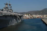
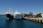
OPERATED BY : Marmaris Cruise Port
ADDRESS : Marmaris Limanı G�nn�cek Yolu 48700 Marmaris �
Mu�la
-
Turkey
TELEPHONE : + 90 (252) 412 03 03 FAX: + 90 (252) 412 82 12 � 413 13 26
LOCATION : 36 51.0 N � 028 16 .8 E
DENSITY : 1.025
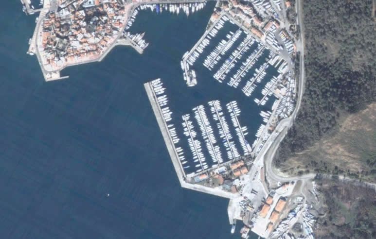
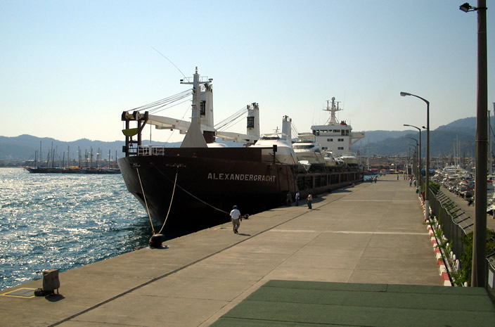
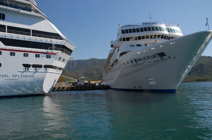
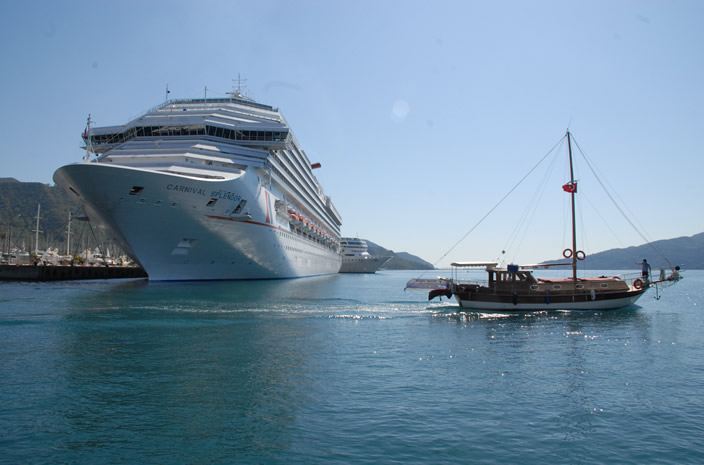
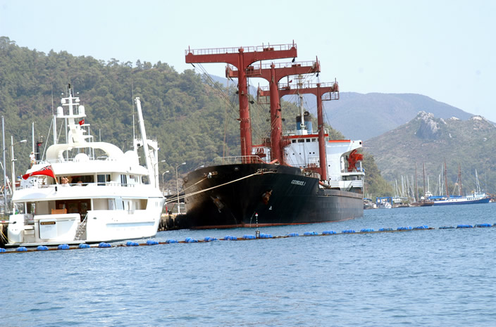
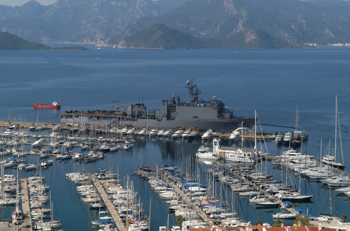
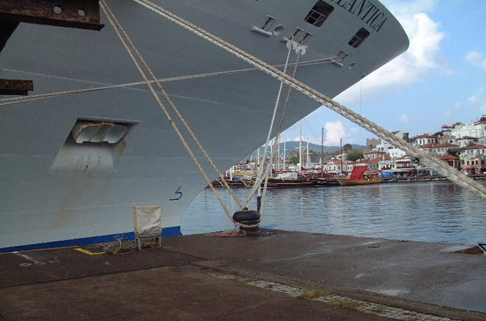
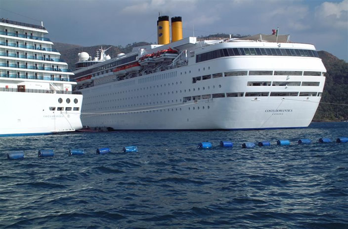
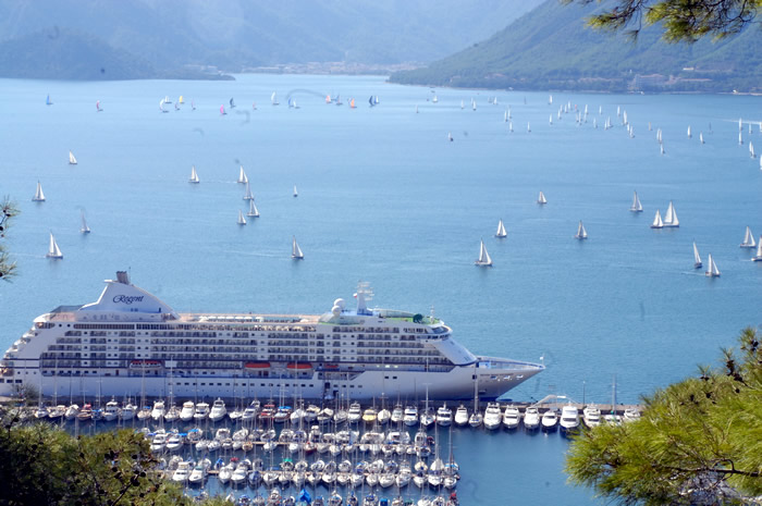
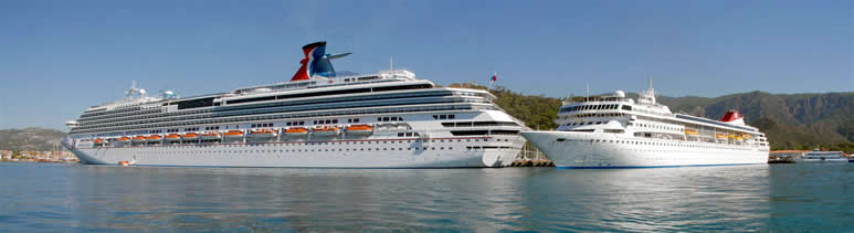
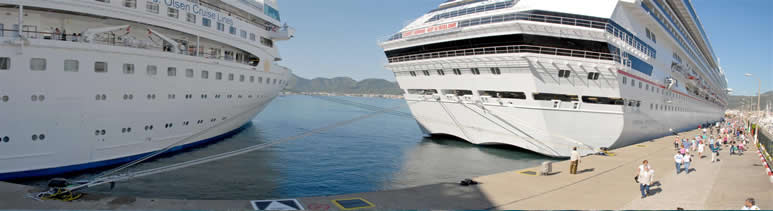
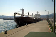
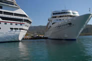
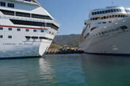
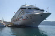
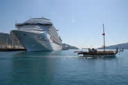
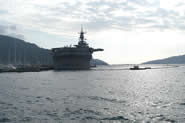
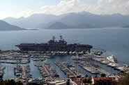
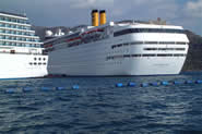
FUNCTION : Cruise ships, cargo ships, ferryboats and yachts
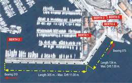
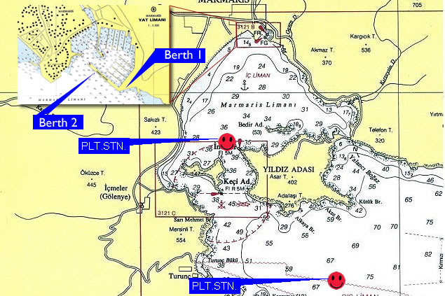
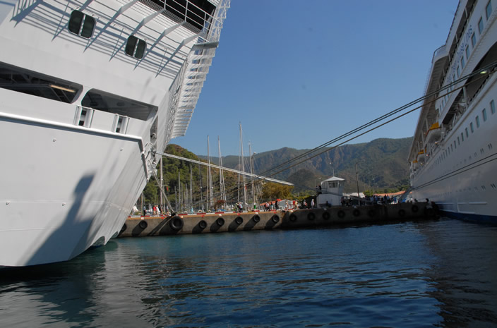
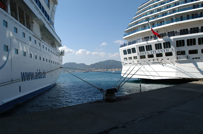
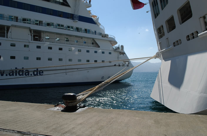
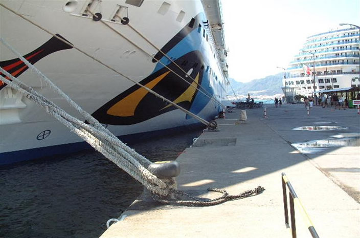
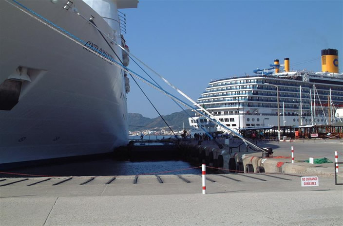
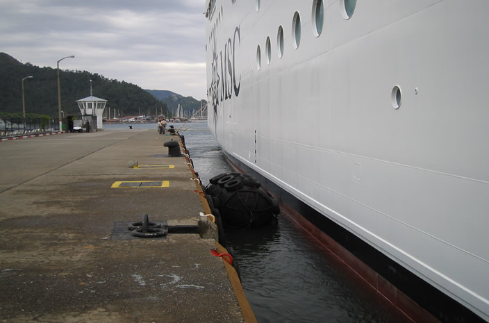
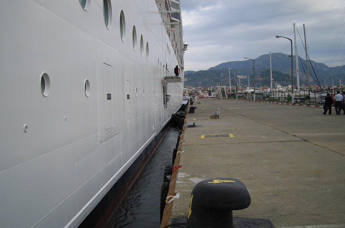
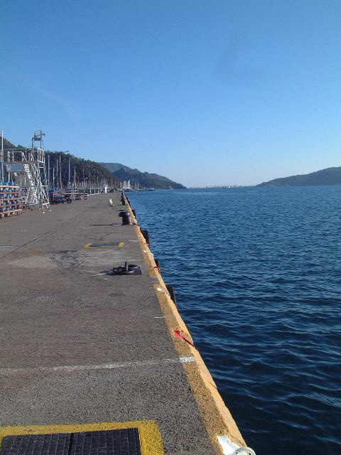
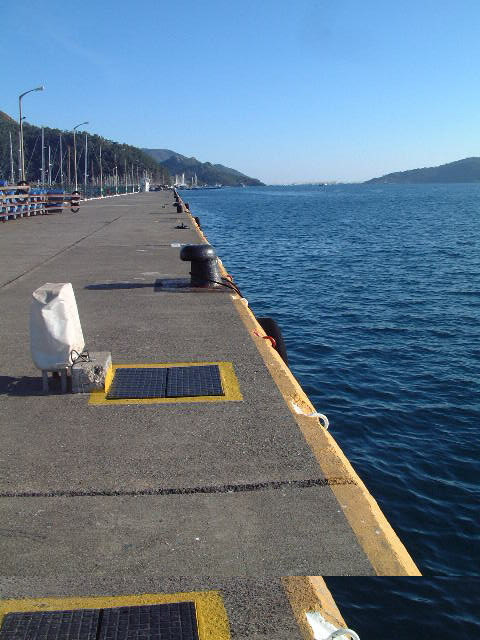
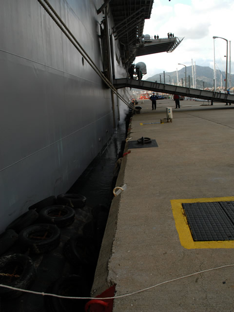
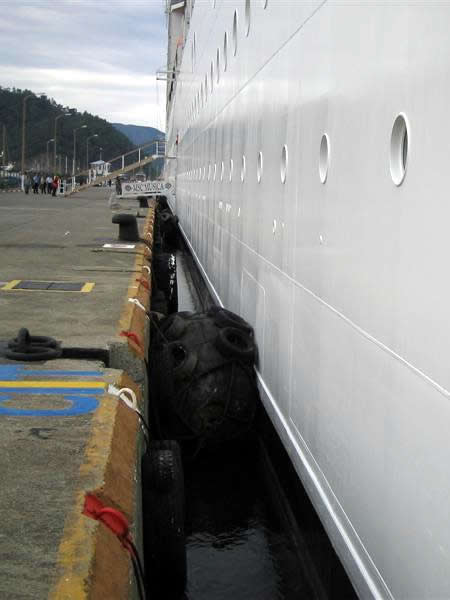
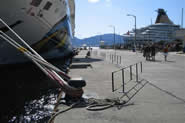
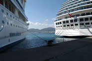
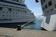
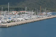
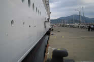
BERTH : L- Shaped pier
No 1 Berth : Length 134m / width 15m / max draft 7.00m / height above sea
level 2.40m
No 2 Berth : Length 305m / width 15m / max draft 11.00m / height above sea
level 2.35m
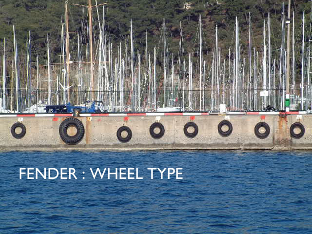
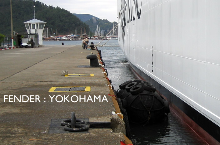
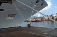
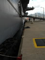
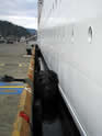
Fenders : Wheel type & Yokohama (2 x 2200 by 4000mm, 1 x 2000 by 4000mm)
ANCHORAGE
Information on best location of anchorage will be given by pilot station. Secure
anchorage is obtainable in the inner harbour of Marmaris Limanı
(Port) in depths of
from 13 to 37m, good holding ground.
PILOTAGE
Compulsory for foreign vessels of 150 grt or more and yachts entering or leaving
the harbour, anchoring or berthing. Call �Marmaris Pilot� VHF channels 16 � 14.
Call one hour before arrival.
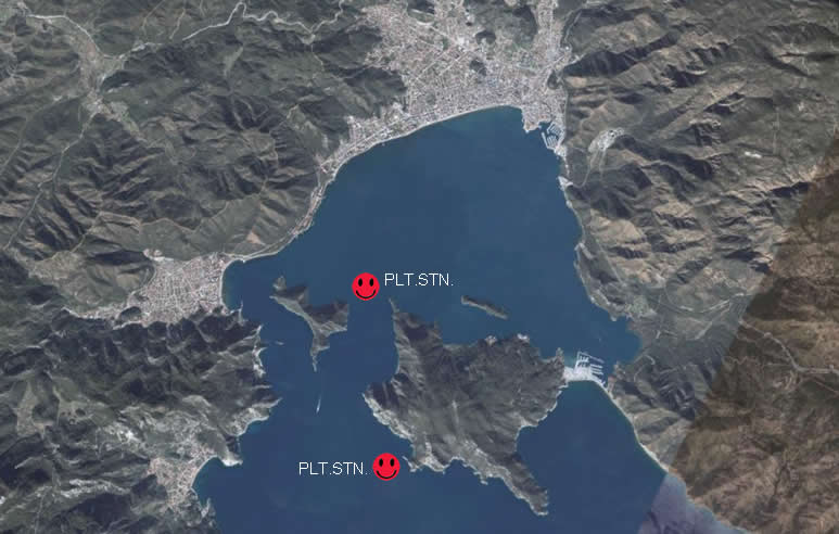
Pilot embark / disembark position : 36 49.5 N � 028 15.9 E (Inner) � 36 47.0
N � 028 16.6 E (Outer)
CARGO HANDLING EQUIPMENT
Loading / unloading available by mobile crane.
STORAGE FACILITIES
Open area.
PORT SERVICES
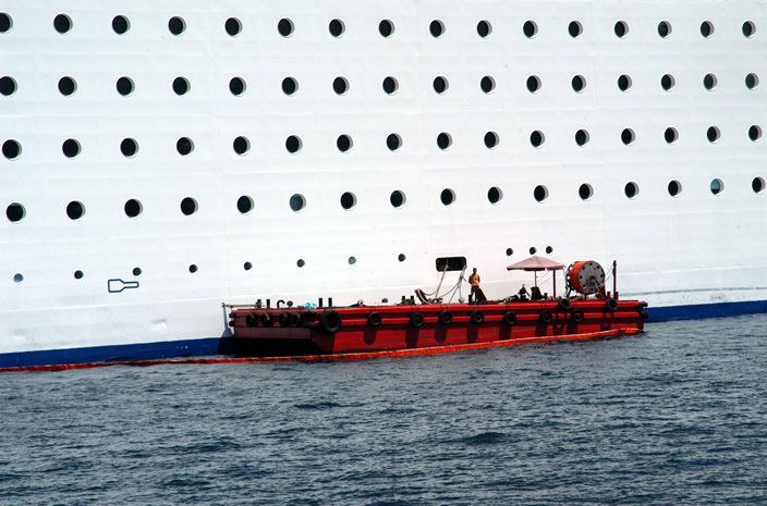
Fresh water : Available by shore connection and barge
Bunker : DO available by truck, FO comes from
�zmir by bunker barge
Garbage removal : Available by barge or truck
Waste oil disposal : Available by barge or truck
WORKING HOURS
Operates 24 hours a day all year round.
ARRIVAL INFORMATION
For details see the relevant Admiralty List of radio signals.
OTHER FACILITIES
Deratting exemption and medical certificates.
SUPPLIES
Provisions.
GENERAL NOTICES
Repairs
Vessels intending to carry out repairs which will immobilize their engines must
obtain prior authority from the Harbour Master.
Painting
Painting is prohibited at the piers.
Gas free & Tank Cleaning
Prohibited within the port limits.
Ballast
Ballast discharge is strictly prohibited for all vessels within the Port of
Marmaris.
Flag
Turkish flag to be hoisted on arrival. Quarantine flag to be displayed until
free pratique is granted.
Boat Drill
Obtain prior authority from port manager.
Entering � Leaving Port
A vessel which is proceeding from sea to harbour must stay clear of the channel
and wait outside due to (?) a vessel is proceeding harbour to seaward.
Pollution or Emergency
During the vessels time in port, continuous radio watch is kept on VHF channel
16, 14.
In the event of any emergency situation arising on or near your vessel, such as
a fire, oil pollution or any accident requiring medical attention and/or an
ambulance, you should immediately contact �Marmaris Cruise Port / Pilot� by one
of the above means for assistance.
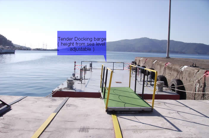
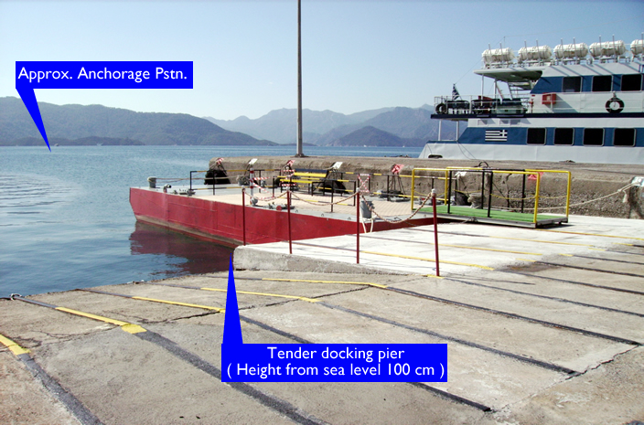
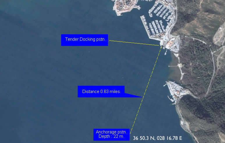
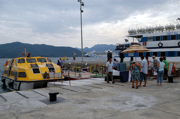
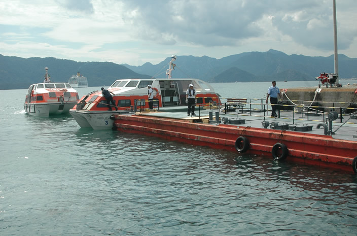
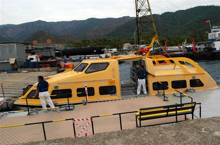
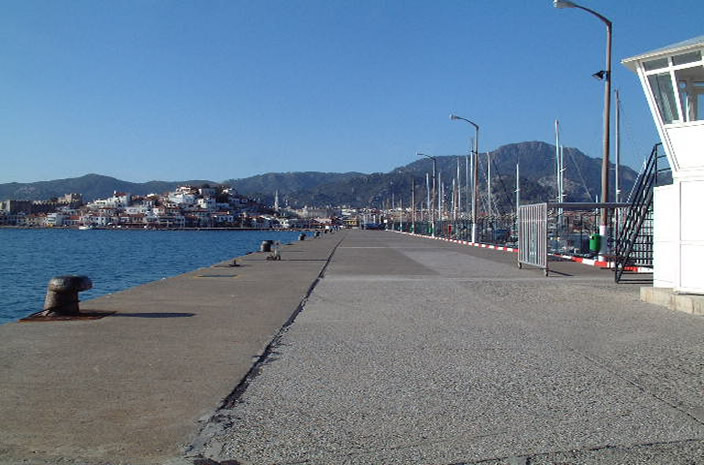
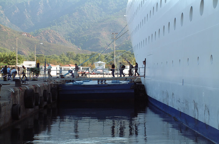
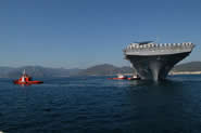
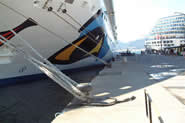
Tender Docking Plan
Barge is surrounded by handrails and
its surface is fully covered by carpet for increased pax (passenger) safety. It
is docked at a sheltered pier therefore not exposed to high seas or waves.
1- Distance from outer plt.stn. to pier / anchorage : 4.2 nm / 3.6 nm
2- Distance from inner plt.stn. to pier / anchorage : 1.6 nm / 1.0 nm
 |
 |
 |
 |
|
Marmaris
Cruise Port |
Marmaris
Cruise Port |
Marmaris
Cruise Port |
Marmaris
Cruise Port |
 |
 |
 |
 |
|
Marmaris
Cruise Port |
Marmaris
Cruise Port |
Marmaris
Cruise Port |
Marmaris
Cruise Port |
 |
 |
 |
 |
|
Marmaris
Cruise Port |
Marmaris
Cruise Port |
Marmaris
Cruise Port |
Marmaris
Cruise Port |
 |
 |
 |
 |
|
Marmaris
Cruise Port |
Marmaris
Cruise Port |
Marmaris
Cruise Port |
Marmaris
Cruise Port |
 |
 |
 |
 |
|
Marmaris
Cruise Port |
Marmaris
Cruise Port |
Marmaris
Cruise Port |
Marmaris
Cruise Port |
 |
 |
 |
 |
|
Marmaris
Cruise Port |
Marmaris
Cruise Port |
Marmaris
Cruise Port |
Marmaris
Cruise Port |
 |
 |
 |
 |
|
Marmaris
Cruise Port |
Marmaris
Cruise Port |
Marmaris
Cruise Port |
Marmaris
Cruise Port |
 |
 |
 |
 |
|
Marmaris
Cruise Port |
Marmaris
Cruise Port |
Marmaris
Cruise Port |
Marmaris
Cruise Port |
 |
 |
 |
 |
|
Marmaris
Cruise Port |
Marmaris
Cruise Port |
Marmaris
Cruise Port |
Marmaris
Cruise Port |
|